 Spearhead Capital Group
The Caribbean coast
Venezuela has nearly 1,700 miles of Caribbean coastline — more than any other country on the sea. Its islands sit outside the hurricane belt, in some of the clearest water in the hemisphere.
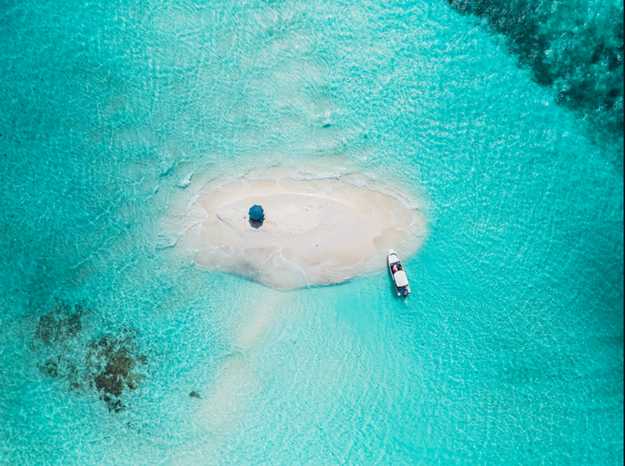
One of ~350 cays and islets in the archipelago — a protected national park of coral reef, sandbars and turquoise shallows.

Gran Roque is the archipelago’s only settled island — sand streets, posadas, and a small airstrip 35 minutes from Caracas.

Margarita’s signature beach — nearly two miles of palm-lined sand on the island at the center of the Fund’s coastal thesis.

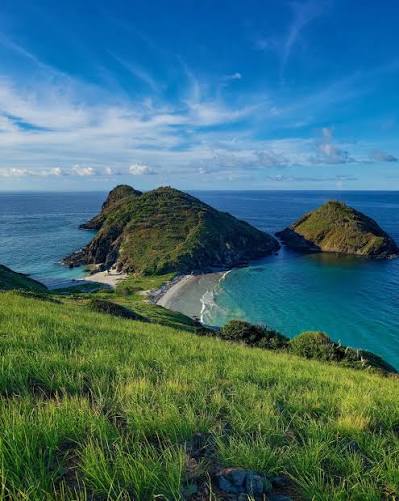
The dark headland on Margarita’s north‑east shore, between Manzanillo and El Tirano — fishing coves beneath dry coastal hills.

Rose‑tinted salt ponds pressed against the open Caribbean — salt has been raked here since before the Spanish crown arrived.

Red‑gold sand and a horseshoe bay on the mainland coast — one of dozens of coves inside a national park that is half sea, half mountain.
Canaima & La Gran Sabana
A UNESCO World Heritage park the size of Belgium, built on two-billion-year-old rock. Its flat-topped tepuis inspired both The Lost World and Pixar’s Up.

The tallest waterfall on Earth — 3,212 feet of uninterrupted drop off the Auyán-tepui, fifteen times the height of Niagara.

A curtain of tannin-gold water on the Canaima Lagoon — visitors walk the ledge directly behind the falls.

Pink-sand beaches, palm islands and four waterfalls pouring into a single lagoon — the gateway to Angel Falls.
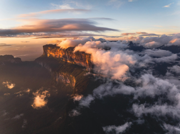
Sheer-walled table mountains rising 1,300 feet above the savanna — among the oldest exposed rock formations on the planet.
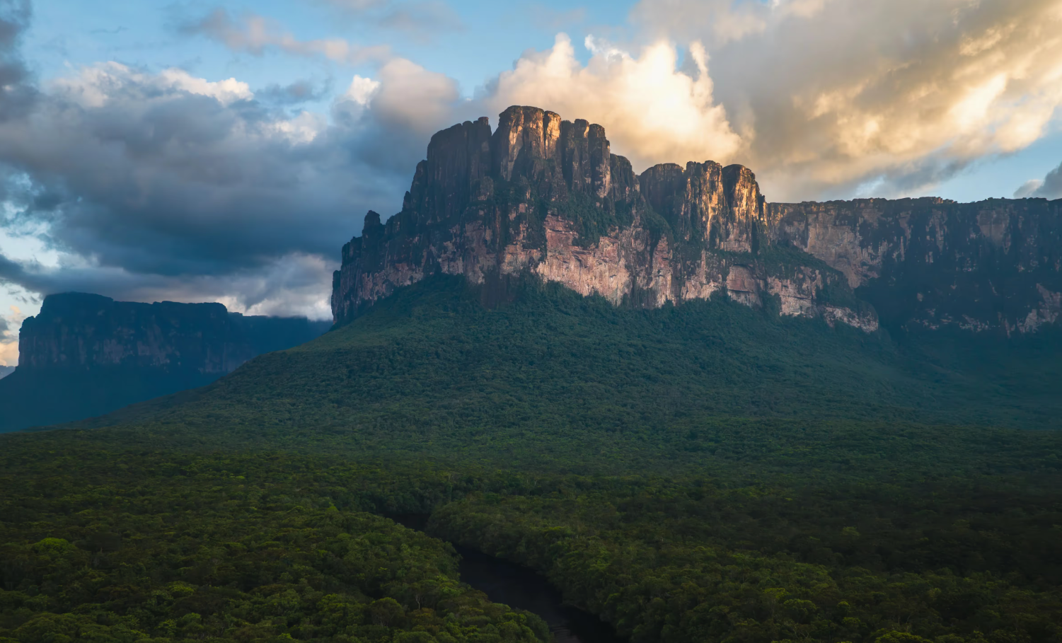
The “Devil’s Mountain” — a table mountain the size of a small country, rising sheer out of unbroken rainforest. Angel Falls pours off its far wall.
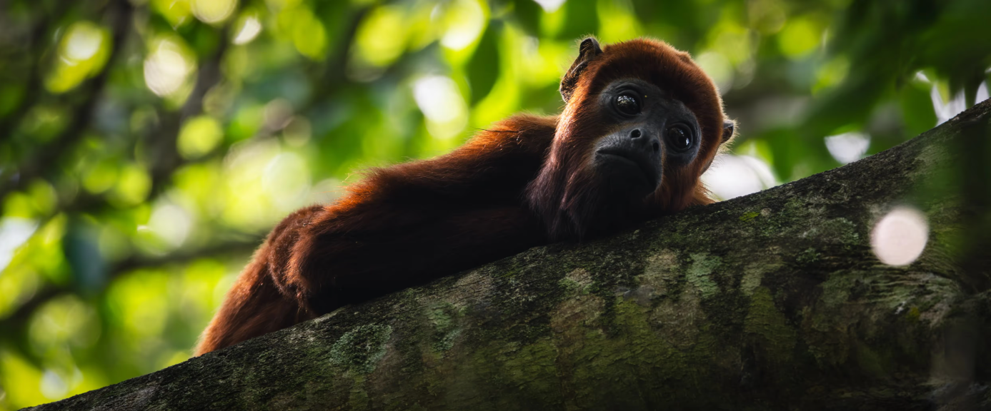
Venezuela is one of the ten most biodiverse countries on Earth — howlers, jaguars, giant otters and 1,400 bird species share these forests.

Desert, jungle & the Andes
Few countries hold this range: Saharan dunes on the coast, Amazon rainforest in the south, salt flats on the eastern peninsulas, snow in the west — and over Lake Maracaibo, the most lightning-struck place on Earth.

A miniature Sahara on the Caribbean — wind-sculpted dunes up to 130 feet high, minutes from the UNESCO colonial city of Coro.

Up to 260 nights a year a silent storm flickers over the mouth of the Catatumbo river — a Guinness world record, and a natural lighthouse sailors have steered by for centuries.
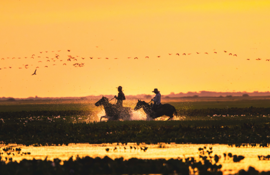
A third of the country is open savanna — cowboy country of capybaras, caimans and scarlet ibis, under the biggest skies in South America.
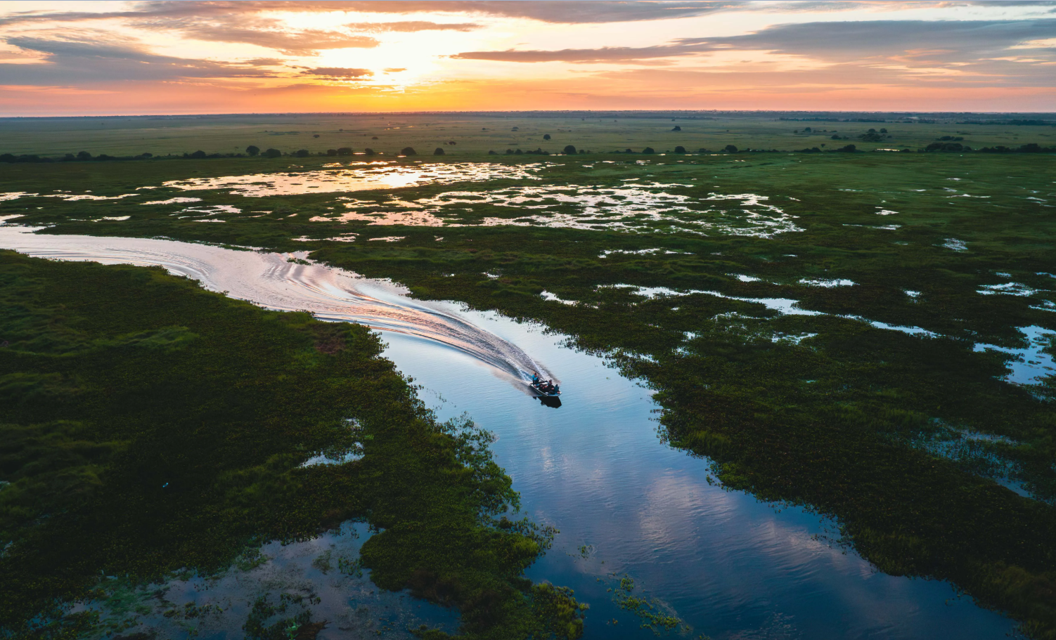
In the wet season the plains become an inland sea navigated by boat — one of the richest wildlife regions in the Americas.

Rose-tinted salt flats worked since the 1500s — the treasure that drew the Spanish crown to build a fortress on this desert peninsula.

The “tree of life” of the Piaroa people — a lone 4,200-foot tepui rising out of unbroken Amazon rainforest.

Venezuela’s highest peak at 16,332 feet — reached from Mérida by the highest and longest cable car system in the world.
One of the great rivers of the world — draining four-fifths of the country before fanning into a vast Atlantic delta.
Caracas & El Ávila
The capital sits in a 3,000-foot valley pressed against a national park. From almost any street, the green wall of El Ávila fills the northern sky.

A city of 5 million at eternal-spring altitude — the commercial capital, and the other half of the Fund’s two-market strategy.

The green wall that defines the capital — 8,000 feet of national park rising straight from the city’s northern avenues. Caraqueños hike it at dawn; a cable car climbs to the Hotel Humboldt at the crest.

From the ridge, the whole capital reads at a glance — and beyond the far rim, it’s 20 minutes down to the Caribbean.
The golden age
This is not a country imagining prosperity — it is one that remembers it. In the 1950s Venezuela had one of the highest incomes per capita on Earth; airlines and ocean liners advertised the run south, and hundreds of thousands of Europeans emigrated to Caracas. The bones of that country are all still there.

New avenues, new towers, American cars — the boomtown that oil built, photographed for European readers who were being urged to move there.
.jpg)
Pan Am sold the continent to American travelers — its Clippers and DC-7s made Caracas an easy hop from Miami and New York.

Caracas on the marquee of a European flag carrier — the capital was a standard stop on the great postwar routes.
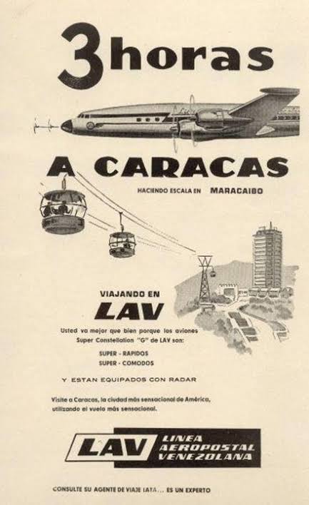
Venezuela’s own carriers — Aeropostal, Avensa, later VIASA — linked Caracas to the Americas and Europe daily. “Visit Caracas, the most sensational city in America.”
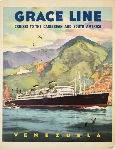
The “Santa” liners carried tourists and new residents from Manhattan to La Guaira — the sea road of the boom years.
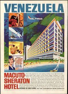
International hotel chains built flagships on the Litoral — “the best resort hotel value in the Caribbean,” twenty minutes from the capital.
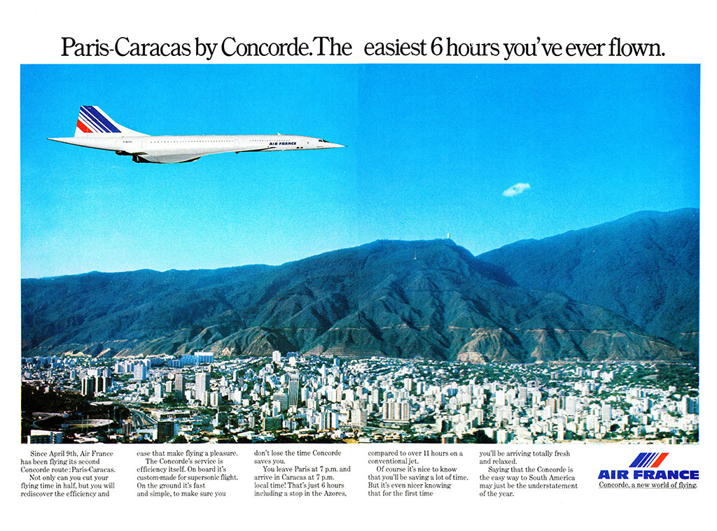
Caracas was Air France’s second-ever Concorde route — supersonic from Paris over El Ávila, “the easiest 6 hours you’ve ever flown.”

The modernist city rising — in a single decade Caracas built superhighways, a university city now on the UNESCO list, and the hemisphere’s boldest architecture.

JFK’s first trip to Latin America — he and Jacqueline (who spoke to the crowd in Spanish) were received by President Betancourt as hundreds of thousands lined the route from Maiquetía.
Photography via Wikimedia Commons contributors (Creative Commons licenses) · Shown for illustrative purposes